Mission: L03
Summary:
Our second test flight went very well. We tested our ability to command a cut down from the flight station.
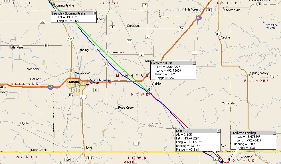
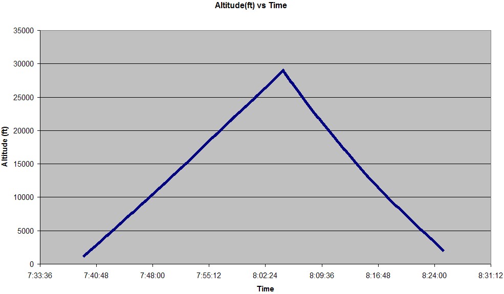
The cut down command was given at an altitude of 30,000 ft. Our original goal was to fly to an altitude of
50,000 feet, however, the FAA expresed serious concerns about using Blooming Prairie as a launch site. The
mission also tested the recovery team's ability to track and recover the spacecraft during a longer mission.
We made several improvements to this mission based on our experience from L02.
The audio beacon was placed on the command module and activated and this made locating the command module in
the corn field very easy. The recovery vehicle beacon was secured to a piece of sheet metal and worked very
well during the entire mission. A launch switch was finally built to activate the launch release. This worked
much better then holding bare wires to a battery.
Jessie Hakes, a student from the
College of St. Catherine, came and participated in the launch and recovery. She is working with Dr. Terry
Flower as a part of the NASA Workforce Developement Project.
The mission was rescheduled from the 11th of October due to adverse winds and weather conditions.
Flight Information:
| Date: | October 19, 2003 |
| Launch Site: | Blooming Prairie High School :: Map :: Web Page |
| Launch Coordinates: | Latitude: 43.867 N, Longitude: 93.065 W, Altitude: 1290 feet |
| Launch Time: | 7:39 AM |
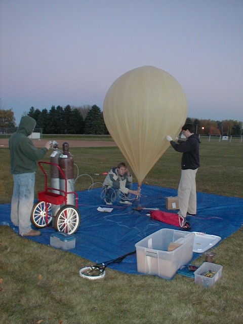
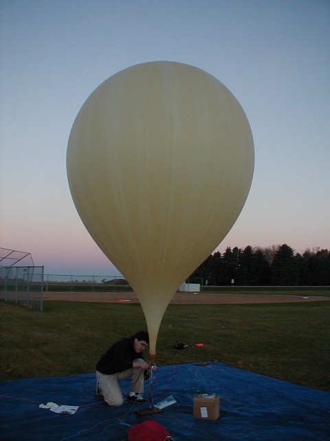
| Balloon: | 1500 gram Kaysam Balloon |
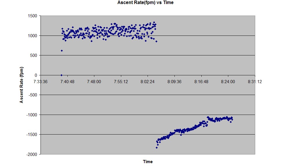
| Ascent Rate: | 1100 feet/min |
| Descent Rate: | 1100 feet/min |
| Stack Weight: | 10.5 pounds (includes 6lb command module as well as the parachute and harness) |
| Total Lift: | 14.5 pounds |
| Free Lift: | 4 pounds |
| Maximum Altitude: | 28990 feet |
| Landing Time: | 8:25 AM |
| Recovery Time: | 9:00 AM |
| Landing Coordinates: | Latitude: 43.47 N, Longitude: 93.47 W, Altitude: 1350 feet |
Personnel:
| Mission Manager: | Greg Nelson |
| Launch Director: | Kevin Sweeney |
| Flight Director: | Stephanie Soffa |
| Recovery Director: | Kevin Sweeney |
| Flight Team: | Matt Thomasson |
| Launch Team: | Jessie Hakes, Chris Sanden, Matt Thomasson |
| Recovery Team: | Jessie Hakes, Chris Sanden |
Lessons learned:
- The flight team should be notified once the spacecraft has been located rather then waiting until it's been recovered.
- A minimum of six people need to be involved for a smooth mission to take place.
- The final landing site coordinates should be recorded as soon as the command module has been located, rather then waiting until the spacecraft has been placed in the recovery vehicle.
Flight Data:
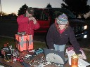
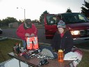
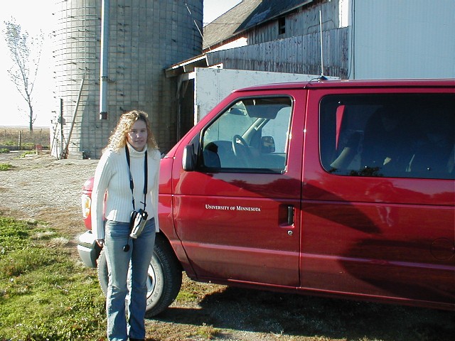
Pictures:
Pictures taken by Jesse Hakes


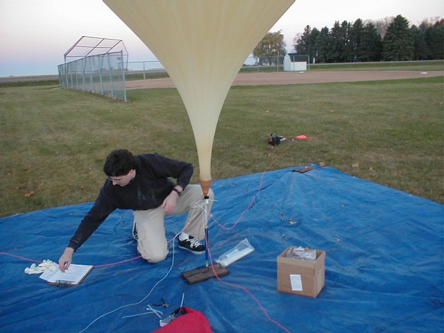
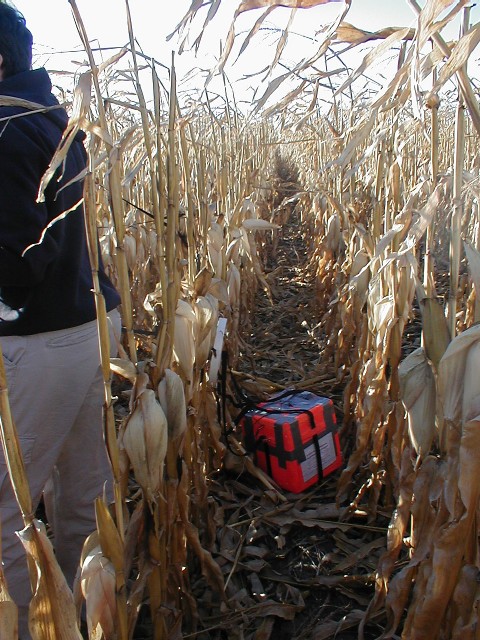

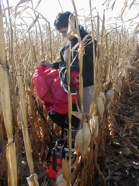

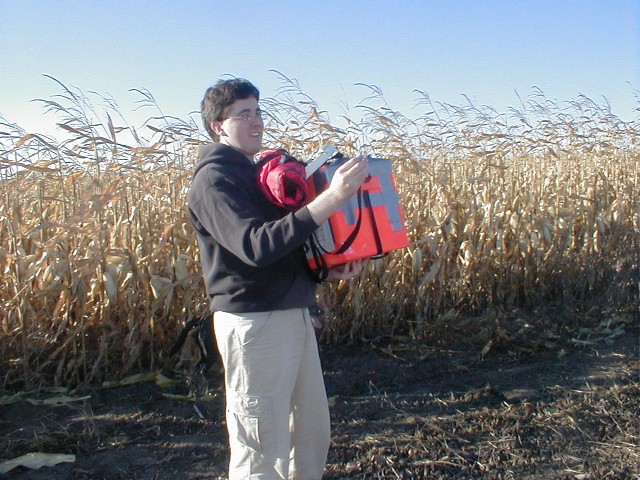
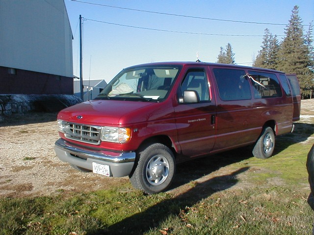
Pictures taken by Chris Sanden


Videos:
Video taken by Jessie Hakes and edited by Kevin Sweeney
Two versions of the video are offered. The WMV file requires the Windows Media Player 9 codec, which
can be obtained from our web page for either WMP 7.0
or greater or for WMP 6.4. These codecs
can also be obtained directly from Microsoft's Web Site. The MPEG file is offered as an alternative
for those who cannot install the codec or are using an operating system other then Windows. The
quality of the MPEG is much lower in order to keep the file size small.
The video is 9:20 minutes in length and shows some highlights of the L03 mission including setup,
launch, and recovery.
Web site maintained by Adam Thoreen
Last updated: August 26, 2004
Last updated: August 26, 2004