


Current Earth Simulation
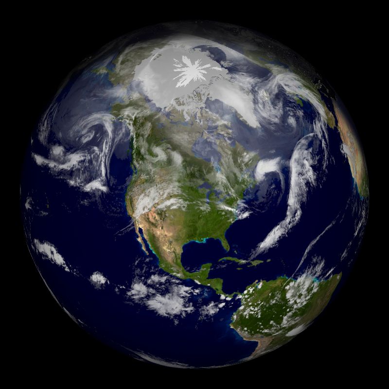
The following is a simulation of the current view of the Earth from directly above Minneapolis-St. Paul, MN (longitude -93°, lattitude 45°). The Earth's features are from stored satellite photos and the clouds are current (last two hours) weather satellite data (which does not cover to the poles, so those clouds are inaccurate). This was generated using XPlanet software, which is capable of simulating all the planets in the solar system, see their Image Gallery for neat examples.
 |
| (Click for a larger version) |
Last Modified: 2009-03-06 at 10:08:08 -- this is in International Standard Date and Time Notation